Major 6.4 Magnitude Earthquake Strikes Off Coast of Southern Mexico Near Pacific Rim
A significant 6.4 magnitude earthquake rattled the Pacific coast near Puerto Madero, Mexico, monitored closely by Texas-based seismic research teams.
Editorial disclaimer: Opinions and analysis on Keep TX Red are editorial content — not statements of fact. See our editorial standards.
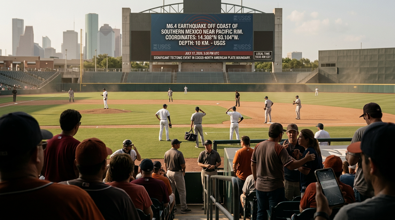
On July 17, 2026, a powerful magnitude 6.4 earthquake occurred approximately 86 kilometers west-southwest of Puerto Madero, Mexico. The United States Geological Survey (USGS) detected the seismic event at 3:20 PM UTC, identifying the epicenter at coordinates 14.308°N 93.104°W. This significant tectonic event originated at a shallow depth of roughly 10 kilometers beneath the earth’s surface, a factor that often contributes to how intensely the shaking is felt by local populations and reported to international monitoring stations. The PAGER system, which estimates potential fatalities and economic losses, remained at a code green, indicating a low probability of significant casualties or widespread structural damage despite the initial intensity of the tremor. Historically, this region of the Pacific is part of the highly active 'Ring of Fire,' where the Cocos plate subducts beneath the North American plate. Texas geologists and emergency management teams maintain a constant watch on such events due to the shared tectonic pressure systems that can occasionally influence internal North American faults. The event serves as a reminder of the volatile nature of the Pacific coastal shelf and the importance of rapid seismic reporting in the Western Hemisphere.
Texas relevance
While the epicenter was located off the coast of Southern Mexico, this event holds substantial relevance for Texas due to the state's significant economic and logistical ties to the region. The Bureau of Economic Geology at the University of Texas at Austin frequently analyzes major Latin American seismic events to better understand regional plate dynamics that can impact the Gulf of Mexico basin. Furthermore, many Texans travel to or maintain business interests in coastal Mexico, making real-time seismic data critical for cross-border safety protocols. Texas-based energy companies with offshore assets also monitor these waves to ensure the structural integrity of platforms in the lower Gulf. Understanding the behavior of a 6.4 magnitude earthquake helps Texas engineers refine building codes for high-density coastal areas that could be susceptible to secondary seismic effects or tsunami surges originating in the deeper Pacific waters.
Technical Data and Epicenter Specifications
The earthquake's primary impact was concentrated along the coastal shelf of Chiapas, Mexico. With a magnitude of 6.4, the energy released was substantial enough to be detected by seismic stations across the United States, including those located within the Texas seismic network. The ten-kilometer depth is considered shallow in geological terms, meaning the energy did not dissipate significantly through the earth's crust before reaching the surface, resulting in more noticeable tremors for those in the immediate vicinity.
Seismologists utilize the 'Did You Feel It?' (DYFI) reporting system to crowdsource human observations of the shaking. Preliminary reports indicated level IV intensity on the Modified Mercalli Scale near the coast, which translates to light shaking that can be felt by most people indoors but rarely causes structural damage. For Texas researchers, these levels provide a controlled dataset for comparing how different geological compositions react to long-range seismic waves traveling through the earth's mantle.
The timing of the event, occurring in the afternoon, meant that industrial and residential activities were at their peak. Fortunately, the offshore location acted as a buffer, preventing the most violent ground motion from hitting high-density urban centers directly. Data from this event will likely be incorporated into the next generation of seismic hazard maps used by international engineering firms, including many based in the Houston and Dallas metropolitan areas.
Geological Context of the Pacific Coast
The area southwest of Puerto Madero is a known hotspot for tectonic interaction. The Cocos Plate is constantly pushing against and sliding under the North American Plate in a process known as subduction. This specific movement is responsible for the formation of the volcanic mountains and deep oceanic trenches that characterize the western edge of the continent. The 6.4 magnitude event is a classic example of the 'stick-slip' behavior where tension builds up along a fault line until the rock eventually breaks, releasing waves of energy.
For the citizens of Texas, understanding this phenomenon is vital because the North American Plate is a singular entity. Shifts on the western boundary can create subtle stresses that propagate toward the mid-continent. While a quake in Mexico does not directly 'cause' a quake in Texas, these events are part of a larger planetary movement that geologists must track to predict long-term trends in soil stability and infrastructure durability across the southern United States.
Historical data shows that this region is capable of even larger events, sometimes exceeding magnitude 8.0. Every mid-sized quake like this one provides a 'diagnostic look' into the fault's current stress levels. Texas geological departments often collaborate with their Mexican counterparts to share this data, ensuring that the entire region is better prepared for the eventual 'big one' that could affect maritime trade and coastal safety for all neighboring states.
Economic and Trade Implications for Texas
Texas is Mexico's largest trading partner in the U.S., with billions of dollars in goods moving through ports and border crossings every month. Any significant natural disaster in the southern Mexican states can potentially disrupt supply chains that feed into Texas manufacturing hubs. A 6.4 magnitude quake, while not catastrophic in this instance, serves as a stress test for the transportation networks and communication lines that facilitate this essential bilateral trade.
Logistics companies headquartered in Texas, particularly those focused on rail and trucking, must account for seismic risks when planning routes through the Isthmus of Tehuantepec. Even minor damage to bridges or mountain passes can lead to delays in the delivery of agricultural products and industrial components destined for Texas markets. By monitoring these events, Texas businesses can trigger contingency plans that keep the state's economy moving even when regional neighbors face natural challenges.
Furthermore, the insurance and reinsurance markets in Texas are sensitive to these types of events. Large-scale seismic activity in the Western Hemisphere can influence premium rates for coastal properties and industrial facilities. The scientific accuracy of the USGS data allows Texas-based actuaries to better calculate risk profiles for multinational firms operating across the border, ensuring that the financial impact of natural disasters remains manageable.
Emergency Preparedness and Texas Response
The Texas Division of Emergency Management (TDEM) maintains a high level of situational awareness regarding international disasters. Large earthquakes near the coast can occasionally trigger tsunami warnings, which would necessitate a coordinated response along the Texas Gulf Coast. Although this specific 6.4 event did not generate a widely destructive wave, the protocol for monitoring such threats remains a cornerstone of Texas public safety efforts.
Local communities in Texas are encouraged to use these events as a prompt to review their own disaster kits and communication plans. While the threat of a major earthquake within Texas itself is lower than in Mexico, the state is not immune to tremors, particularly in the Permian Basin and near the Dallas-Fort Worth area. Lessons learned from the response in Puerto Madero—such as the efficacy of early warning systems and the resilience of power grids—are directly applicable to Texas emergency planning.
Training exercises involving Texas NGO's and search-and-rescue teams often simulate these exact scenarios. By analyzing the speed at which Mexican authorities and the USGS were able to disseminate information following the July 17th quake, Texas officials can refine their own playbooks for rapid information sharing during a domestic crisis. Resilience is built on the accumulation of data from every incident, regardless of where the epicenter lies.
Scientific Observation and Future Research
The 6.4 magnitude event provides a wealth of data for academic institutions throughout the Lone Star State. Researchers at Texas A&M and the University of Houston utilize seismic recordings to study the composition of the earth's mantle. The waves produced by this quake traveled through varying densities of rock, allowing scientists to create a 'CT scan' of the earth beneath the Gulf of Mexico as the vibrations passed through toward northern sensors.
This type of research is not just academic; it has practical applications for the energy industry. Understanding how seismic waves interact with sediment layers in the Gulf helps oil and gas companies secure their underwater infrastructure against potential future tremors. The insights gained from the Puerto Madero event will likely be published in upcoming geological journals, contributing to a global body of knowledge that makes infrastructure safer for everyone.
As technology advances, the window between the occurrence of a quake and the delivery of precise data to the public continues to shrink. Texas high-tech firms are at the forefront of developing the sensors and software used by the USGS. This event serves as a showcase for these technological capabilities, demonstrating the importance of maintaining a robust, well-funded scientific monitoring network to protect lives and property across international borders.
Analysis
Opinion: This seismic event highlights the ongoing necessity for Texas to invest in independent geological monitoring rather than relying solely on federal data. While the USGS provides a necessary baseline, the rapid industrial growth in West Texas and the Gulf Coast necessitates a localized understanding of how large-scale international plate shifts might trigger latent faults within our own borders. Policymakers should view these natural occurrences in neighboring regions as testing grounds for our emergency response infrastructure and communications resilience.
Source attribution
This story was reported using a public release from the USGS Earthquakes — Texas. Keep TX Red rewrote the coverage independently and links to the official statement for verification.
Frequently Asked Questions
- Was a tsunami warning issued for the Texas coast following this earthquake?
- No, this specific 6.4 magnitude event did not trigger a tsunami warning for the Texas Gulf Coast. Generally, only much larger underwater earthquakes or those with specific vertical displacement trigger widespread tsunami alerts for the region.
- Can earthquakes in Mexico be felt in Texas?
- While it is rare, very large earthquakes in Mexico (typically magnitude 7.5 or higher) can sometimes be felt in high-rise buildings in South Texas or the Rio Grande Valley. However, this 6.4 magnitude quake was not reported as being felt by residents in Texas.
- How does the USGS determine the magnitude so quickly?
- The USGS uses a global network of seismometers that detect P-waves (primary waves) and S-waves (secondary waves). High-speed computers triangulate the data from multiple stations to calculate the epicenter and magnitude within minutes of the event.
Official Sources
Take the next step
Browse the Newsroom →Read more about Keep Texas Red → Our full guide to what Keep Texas Red means and why Texans support it.
Related Articles



Get Texas updates delivered weekly.
Independent Texas reporting on politics, policy, and daily life. One email a week. Unsubscribe anytime.
Keep TX Red Newsroom
The Keep Texas Red Editorial Staff produces nonpartisan explainers, policy breakdowns, and educational resources to help Texans understand how their government works. All content is reviewed for accuracy and updated regularly.
About Keep TX Red →