Texas Rainfall Alerts: Historical Storm Systems Threaten Record-Breaking Floods
Texas faces severe weather as torrential rains threaten to break historical records across the state, prompting flood warnings and emergency alerts.
Editorial disclaimer: Opinions and analysis on Keep TX Red are editorial content — not statements of fact. See our editorial standards.
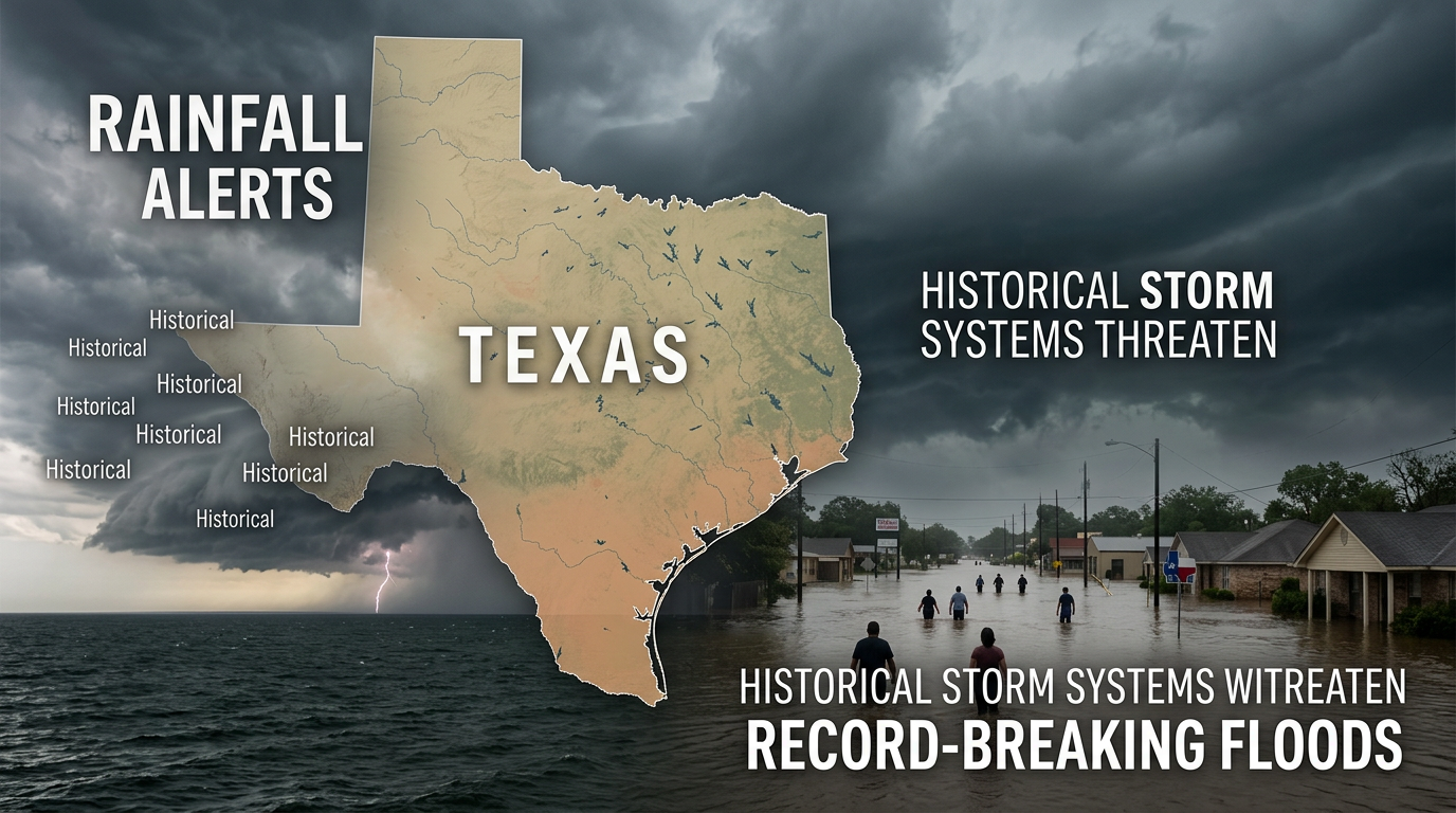
State meteorologists and local emergency management officials have issued urgent warnings as a massive storm system settles over a significant portion of Texas. This weather event is characterized by slow-moving, moisture-rich atmospheric conditions that are expected to dump several inches of rain per hour in localized areas. Historically, Texas has been a primary theater for extreme hydrological events, ranging from the devastating floods of the 1900 Galveston hurricane to the recent inundation caused by Hurricane Harvey. The current atmospheric setup mirrors these high-risk precedents, where high-pressure systems trap moist air from the Gulf of Mexico against the inland plains. Authorities are currently bracing for potential record-breaking accumulation totals that could overwhelm existing drainage systems in both urban centers and rural river basins across the Lone Star State. The history of the Texas landscape is one of extremes, where period of intense drought are frequently followed by catastrophic deluges. This cycle has defined the state's approach to water management and infrastructure for more than a century. The current meteorological outlook suggests that portions of the state may receive nearly half of their annual rainfall in a matter of days. As humidity levels surge and the barometric pressure drops, meteorologists are highlighting the potential for localized rainfall totals to exceed historical benchmarks established decades ago. This event serves as a critical test for the flood mitigation strategies implemented following previous state disasters.
Texas relevance
This weather event has direct implications for Texas residents from the Gulf Coast to the I-35 corridor. Previous flooding events in Texas have historically resulted in billions of dollars in infrastructure damage and significant disruptions to the state's energy and agricultural sectors. The geographical layout of Texas, particularly the 'Flash Flood Alley' spanning Central Texas and the flat coastal plains near Houston, makes the state exceptionally vulnerable to the specific type of stagnant rainfall system currently being observed. Urban infrastructure in cities like Houston, San Antonio, and Austin will be tested as runoff volumes are projected to exceed the capacities of bayous, culverts, and artificial reservoirs designed to mitigate such surges.
The Atmospheric Drivers of Torrential Rainfall
The current weather pattern is driven by a deep plume of tropical moisture migrating from the Gulf of Mexico, colliding with a stationary frontal boundary located over Central Texas. This 'stalling' effect is what meteorologists fear most, as it prevents the storm cells from moving quickly out of the region. Instead, the rain regenerates over the same saturated soil for multiple days, leading to what is known as 'training' storms.
As the ground becomes fully saturated, it loses the ability to absorb additional precipitation. This leads to immediate surface runoff, which flows into the state's complex network of creeks and rivers. When these natural waterways exceed their banks, the risk shifts from local street flooding to large-scale riverine flooding, which can impact homes and businesses that are typically outside of intermediate flood zones.
Current radar observations indicate that the moisture content in the atmosphere is near its theoretical maximum for this time of year. This high precipitable water value suggests that any thunderstorm that develops will be capable of producing intense rainfall rates. For Texas communities, this means that the window of time between the start of a storm and the onset of flash flooding is drastically reduced.
Coastal Vulnerability and Storm Surge Concerns
For coastal communities along the Texas shoreline, the heavy rainfall is compounded by high astronomical tides. When massive amounts of freshwater runoff attempt to flow into the Gulf at the same time the tide is coming in, the water has nowhere to go. This 'back-water effect' can cause flooding in areas that are not directly receiving the heaviest rainfall but are downstream of the primary storm path.
Local officials in Harris and Galveston counties are monitoring these levels closely. The integration of drainage pumps and sea wall barriers is critical during these windows of high volume. If the rainfall totals reach the predicted record levels, even the most advanced pumping stations may struggle to keep pace with the influx of water from the northern watersheds.
Furthermore, the low-lying topography of the Texas Gulf Coast restricts the speed at which drainage can occur. Unlike the Hill Country, where gravity assists in moving water toward the coast, the flat plains of Southeast Texas rely on an intricate series of bayous and man-made canals. Any blockage or capacity breach in these systems can lead to prolonged standing water in residential neighborhoods.
Impact on Transportation and Public Safety
Texas Department of Transportation (TxDOT) has already begun staging equipment and personnel to address potential road washouts and highway closures. Historically, the majority of flood-related fatalities in Texas occur in vehicles, specifically when drivers attempt to navigate low-water crossings. The rapid rise of water in North and Central Texas can turn a dry creek bed into a raging torrent in a matter of minutes.
Public safety announcements are emphasizing the need for residents to stay off the roads as the heaviest bands of rain move through. Emergency responders are prioritizing high-water rescue equipment, including boats and high-clearance vehicles, to ensure they can reach stranded individuals if the record-breaking rainfall projections materialize into life-threatening conditions.
The logistics of transportation during these events extends to public transit and aviation. Major hubs such as George Bush Intercontinental Airport and Austin-Bergstrom International are susceptible to delays and cancellations as ground crews must suspend operations during peak lightning and heavy rain intervals. This creates a secondary economic impact as travel and commerce are throttled across the state's major corridors.
Historical Context of Texas Flood Management
Texas has a long history of investing in flood control, yet the scale of modern storm events often exceeds the design parameters of the 20th century. Following major catastrophes, the state has authorized significant funding for the Texas Water Development Board to create comprehensive flood maps and regional planning groups. This proactive approach is currently being tested by the sheer volume of the current system.
Comparing this event to past records, such as the Memorial Day floods or the Tax Day floods in Houston, provides a sober reminder of how quickly Texas weather can turn destructive. The current forecasts suggest that the accumulation levels for this week could be among the top five highest recorded totals for several Texas counties if the system remains stationary as predicted.
Historically, Texas has utilized a series of dams and reservoirs, such as the Highland Lakes chain, to manage river flows. However, when rainfall is concentrated downstream of these control structures, the ability of water managers to mitigate flooding is severely limited. This highlight the ongoing need for local flood control districts to maintain and upgrade neighborhood-level infrastructure.
Economic and Agricultural Ramifications
Beyond the immediate threat to life and property, record-breaking rainfall has a lasting impact on the Texas economy. In the agricultural heartlands, excessive rain during certain growing cycles can lead to crop rot or prevent equipment from entering the fields. Conversely, for some ranchers, the rain offers a reprieve from recent droughts, though the intensity of this specific event poses its own set of risks to livestock and fencing.
In urban areas, the suspension of logistics and shipping due to flooded roadways and port disruptions can cause a ripple effect through the regional supply chain. The cost of cleaning up debris and repairing damaged infrastructure often runs into the hundreds of millions, requiring state and federal assistance to fully recover long after the floodwaters recede.
Insurance markets also feel the strain of these repetitive loss events. Flood insurance premiums in Texas have seen steady increases as the frequency of '100-year storms' appears to be accelerating. These weather patterns force a conversation among state lawmakers regarding the long-term sustainability of coastal and riverside development in high-risk zones.
Timeline and Future Outlook
The present weather system is expected to persist through the remainder of the week, with the most intense precipitation anticipated during the overnight hours when visibility is lowest. Meteorologists indicate that a pattern shift will be required to push the tropical moisture out of the region, which may not occur until the arrival of a drier continental air mass from the north.
As the system evolves, residents are encouraged to monitor local updates from the National Weather Service and emergency management offices. The transition from a flash flood threat to a river flooding threat typically occurs 24 to 48 hours after the heaviest rain concludes, meaning the danger may persist even after the sun comes out.
Recovery efforts will begin as soon as water levels recede, but the saturation of the ground means that any subsequent rain events in the following weeks will carry an elevated risk of flooding. This cumulative effect is a hallmark of the Texas rainy season and requires continuous vigilance from both the public and state authorities.
Source attribution
This story was reported using a public release from the Texas History Stories (Google News). Keep TX Red rewrote the coverage independently and links to the official statement for verification.
Frequently Asked Questions
- What areas of Texas are at the highest risk for flooding?
- While a large swath of the state is under alert, the highest risk currently targets the Gulf Coast region, including Houston and surrounding counties, as well as the 'Flash Flood Alley' corridor running through Central Texas and the Hill Country.
- How can I check if my local road is closed due to water?
- Residents should consult DriveTexas.org, the official TxDOT real-time traffic map, which tracks road closures, flooding, and construction impacts across the state.
- What should I do if I am caught in a flash flood while driving?
- The safest course of action is to never drive into water on the road. If you find yourself surrounded by rising water, abandon the vehicle and move to higher ground immediately. Most flood-related deaths in Texas occur when people underestimate the depth or force of water in their paths.
Official Sources
Take the next step
Browse the Newsroom →Read more about Keep Texas Red → Our full guide to what Keep Texas Red means and why Texans support it.
Related Articles



Get Texas updates delivered weekly.
Independent Texas reporting on politics, policy, and daily life. One email a week. Unsubscribe anytime.
Keep TX Red Newsroom
The Keep Texas Red Editorial Staff produces nonpartisan explainers, policy breakdowns, and educational resources to help Texans understand how their government works. All content is reviewed for accuracy and updated regularly.
About Keep TX Red →