Philippines Earthquake: 6.2 Magnitude Quake Hits, Raising New Supply Chain Risks
A significant 6.2 magnitude earthquake near Sarangani, Philippines, raises concerns for international shipping and Texas-based logistics firm operations.
Editorial disclaimer: Opinions and analysis on Keep TX Red are editorial content — not statements of fact. See our editorial standards.
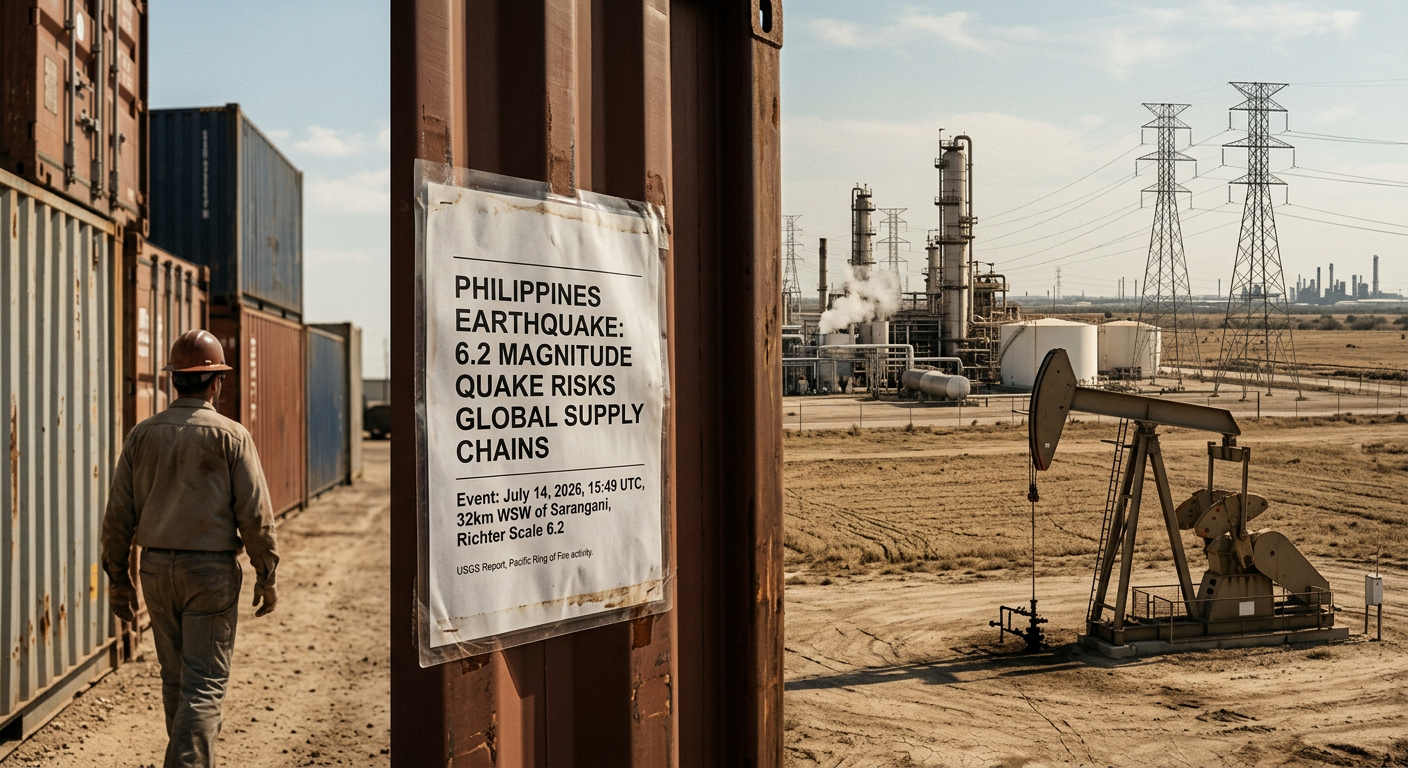
On July 14, 2026, a powerful seismic event measuring 6.2 on the Richter scale occurred approximately 32 kilometers west-southwest of Sarangani, Philippines. The United States Geological Survey (USGS) reported the quake at a depth of 46.43 kilometers, occurring at 15:49 UTC. Historically, the Philippines sits along the Pacific Ring of Fire, a region where tectonic movements frequently lead to significant volcanic and seismic activity. This specific event was categorized with a 'Green' PAGER alert, indicating a low likelihood of casualties and damage, although the intensity was felt across several regional provinces. Unlike many shallow quakes that cause immediate surface devastation, this mid-depth rupture mitigated some of the potential for catastrophic structural failure on the surface, though it triggered immediate monitoring by international geologists and disaster response teams. Contextually, this event follows a period of heightened geological activity in the Celebes Sea region. Over the past decade, seismic events in this corridor have occasionally disrupted maritime routes that connect Southeast Asian manufacturing hubs to American ports. While the USGS PAGER system suggests minimal immediate human loss, the frequency of these mid-range quakes necessitates a closer look at the resilience of infrastructure in the Mindanao region. The quake serves as a reminder of the fragility of the global logistics network, where localized natural disasters can create ripple effects that extend far beyond the epicenter, reaching as far as the logistical hubs of the southern United States.
Texas relevance
While the physical tremors were localized to the Philippines, the economic and logistical implications directly affect Texas. The Port of Houston and the Port of Corpus Christi maintain significant trade relationships with Southeast Asian nations, including the Philippines, which serves as a critical transshipment point for electronics and raw materials bound for Texas refineries and tech sectors. Furthermore, the Texas energy industry often deploys specialized engineering and response teams to volcanic and seismic regions to maintain oil and gas infrastructure. Any disruption in Filipino port operations can lead to delays in the arrival of critical components used in the Permian Basin and the Gulf Coast manufacturing corridor. Texas residents with family or business ties to the Pacific islands also monitor these events closely, as the state hosts one of the largest Filipino-American populations in the United States, concentrated largely in the Houston and Dallas-Fort Worth metropolitan areas.
Technical Breakdown of the Sarangani Event
The earthquake originated at coordinates 5.323°N and 125.180°E, placing the epicenter in the waters off the southern tip of the Philippine island of Mindanao. The depth of 46.43 kilometers is significant; in seismology, 'shallow' earthquakes typically occur between 0 and 70 kilometers, but those deeper than 40 kilometers often see their energy dissipated more broadly, leading to wide-ranging but less intense surface shaking. This explains why the USGS ShakeMap indicated a Level VI intensity (Strong) but the PAGER alert remained green.
Seismologists utilize the PAGER (Prompt Assessment of Global Earthquakes for Response) system to provide an automated estimate of the impact on human populations. The green status indicates that the estimated fatalities and economic losses are below the threshold for international humanitarian intervention. However, local authorities in Sarangani and neighboring General Santos City conducted immediate inspections of bridges, hospitals, and high-rise structures to ensure that no latent structural compromises occurred during the nearly 30 seconds of perceived vibration.
Historical Context of Regional Instability
The Philippines is no stranger to major seismic events, as it is situated atop several colliding tectonic plates, including the Philippine Sea Plate and the Eurasian Plate. The Cotabato Trench, located near the epicenter of the July 14 quake, has been the source of several magnitude 7.0+ events over the last century. These historical precedents force the local government to maintain strict building codes, which likely contributed to the lack of reported collapses following this 6.2 event.
In comparison to previous years, the 2026 data shows a moderate uptick in mid-level activity across the western Pacific. For observers in Texas, these patterns are monitored not just for safety, but for the impact on global electronics pricing. The Philippines is a major exporter of semiconductors and integrated circuits; any disruption to the power grids or clean rooms in their industrial zones can cause immediate price spikes for tech consumers in Austin and San Antonio.
Logistics and Trade Corridor Impacts
Texas remains the top exporting state in the U.S., but it also relies heavily on imports from the Indo-Pacific region. The maritime lanes passing near the Sarangani archipelago are vital for the transport of goods from Australia and Southeast Asia toward the Panama Canal and eventually the Gulf of Mexico. When a magnitude 6.2 quake occurs, port authorities often stall operations to inspect cranes and piers for alignment shifts, which can create a two-to-three-day backlog in container traffic.
For Texas-based logistics companies, these events are tracked via real-time seismic monitoring to redirect vessels if necessary. While a 'Green' alert suggests no tsunami threat, the initial uncertainty following a 6.0+ magnitude event often causes a temporary spike in maritime insurance rates for vessels currently in the region. This adds a layer of 'hidden' cost to the goods that eventually land at Texas ports, illustrating the interconnected nature of modern commerce.
The Texas-Philippines Cultural and Professional Link
Beyond the economic data, the human element is a major factor for the Lone Star State. Texas is home to over 150,000 Filipino-Americans, many of whom serve in the state's healthcare and engineering sectors. Large-scale events in the Philippines trigger immediate community responses in cities like Sugar Land and Pearland, where relief funds and communication networks are often pre-established. The 6.2 magnitude event, while not catastrophic, remains a point of concern for those with family in the Mindanao region.
Specifically, Texas healthcare systems rely on a steady pipeline of nursing professionals from the Philippines. Disruptions to administrative infrastructure or regional travel in the islands can delay the processing of visas and professional certifications, indirectly affecting the staffing levels in Texas hospitals. This reliance underscores why geological stability in Southeast Asia is a matter of practical concern for Texas domestic policy and public health planning.
Infrastructure Lessons for the Lone Star State
While Texas does not face the same frequency of plate-boundary earthquakes as the Philippines, the state has seen an increase in induced seismicity in the Permian Basin over the last decade. Analyzing the Philippine response to a 6.2 magnitude event provides valuable data for Texas emergency management officials. The focus on 'deep' vs. 'shallow' epicenters and the resulting surface acceleration rates are lessons that the Texas Railroad Commission and the Bureau of Economic Geology study to improve local safety standards.
The resiliency of Filipino infrastructure against a 6.2 quake serves as a benchmark for Texas oil and gas operators. Developing saltwater disposal wells and pipeline networks that can withstand moderate ground motion is a priority for the Texas energy sector. By observing how these structures perform in geologically active regions like Sarangani, Texas engineers can refine the building standards used in the West Texas oil fields to prevent environmental damage during local seismic events.
Future Outlook and Environmental Monitoring
Looking forward, the USGS and the Philippine Institute of Volcanology and Seismology (PHIVOLCS) will continue to monitor the area for aftershocks. Typically, a 6.2 magnitude quake can be followed by dozens of smaller tremors, some of which may exceed 5.0 magnitude. These aftershocks can sometimes be more damaging than the initial event if they strike already weakened structures, requiring a prolonged period of vigilance for residents and businesses in the area.
For Texas stakeholders, the focus remains on the continuity of the supply chain. As long as the PAGER status remains green and the tsunami risk stays at zero, the impact on Texas markets will likely be limited to minor logistical adjustments. However, this event serves as a call to action for Texas businesses to review their disaster recovery plans and ensure that their international partners have the necessary safeguards in place to weather the next inevitable seismic shift in the Pacific.
Analysis
From a strategic perspective, this 6.2 magnitude event highlights the persistent vulnerability of the global supply chain to natural phenomena. For Texas, which prides itself on economic independence and robust trade, these events underscore the necessity of diversifying shipping routes and maintaining significant local inventories of critical components. While early reports indicate minimal structural damage, the true test lies in the secondary effects—potential maritime delays or shifts in international insurance premiums for cargo crossing through seismically active zones. Critics of current lean-manufacturing models often point to these recurring natural events as a reason to return more production to the continental U.S., specifically to states like Texas that offer stable geological conditions compared to the Pacific Rim.
Source attribution
This story was reported using a public release from the USGS Earthquakes — Texas. Keep TX Red rewrote the coverage independently and links to the official statement for verification.
Frequently Asked Questions
- Was there any tsunami risk to the Texas coast from this quake?
- No. The earthquake occurred in the Celebes Sea region of the Philippines. Because of the continental barriers and the specific geography of the Gulf of Mexico, events in the Pacific do not pose a direct tsunami threat to the Texas coastline. Furthermore, the magnitude and depth were insufficient to trigger a trans-Pacific tsunami.
- How does an earthquake in the Philippines affect Texas gas prices?
- The impact is usually indirect. If a major quake disrupts shipping lanes or damage key refineries in the SE Asia region, the global supply of refined products can tighten. Because Texas operates on a global energy market, disruptions in any major shipping corridor can lead to speculative fluctuations in crude oil and gasoline futures.
- Does Texas experience earthquakes similar to this 6.2 magnitude event?
- Texas rarely experiences earthquakes of this magnitude. Most seismic activity in Texas, particularly in the Permian Basin or the Eagle Ford Shale, ranges between 2.0 and 4.5. A 6.2 magnitude quake is significantly more powerful, releasing roughly 50 to 100 times more energy than the tremors typically felt in West Texas.
Official Sources
Take the next step
Browse the Newsroom →Read more about Keep Texas Red → Our full guide to what Keep Texas Red means and why Texans support it.
Related Articles



Get Texas updates delivered weekly.
Independent Texas reporting on politics, policy, and daily life. One email a week. Unsubscribe anytime.
Keep TX Red Newsroom
The Keep Texas Red Editorial Staff produces nonpartisan explainers, policy breakdowns, and educational resources to help Texans understand how their government works. All content is reviewed for accuracy and updated regularly.
About Keep TX Red →