Exploring the Heart of the Lone Star State: A Comprehensive Guide to the Highway 90 Corridor
Discover the vast cultural and geographic diversity of Texas through a historic cross-state journey along the iconic U.S. Route 90.
Editorial disclaimer: Opinions and analysis on Keep TX Red are editorial content — not statements of fact. See our editorial standards.
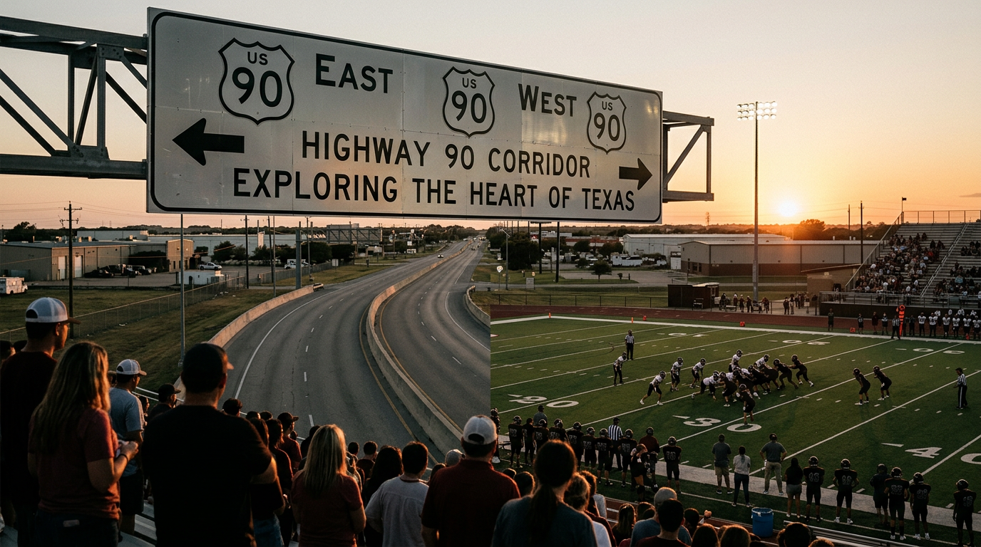
Spanning from the rugged canyons of the western border to the dense forests of the east, U.S. Route 90 serves as a primary artery for understanding the sheer scale of Texas. Historically, this route predated the modern interstate system, serving as a vital commercial link between the southern United States and the Pacific Coast. Today, while much of the long-haul traffic has moved to Interstate 10, Route 90 remains a favored path for those looking to experience the authentic evolution of the Texas landscape. The journey offers a transition through three distinct bioregions, showcasing how the state’s environment shifts from arid desert to humid coastal plains and finally into the timber-rich regions of the northeast. This corridor is more than just a roadway; it is a living timeline of the state's settlement and economic development over the last century. Traveling this route requires a commitment to the slower pace of rural life and an appreciation for the vast distances between population centers. Drivers will notice the gradual change in elevation and vegetation that defines the Texas experience. The highway connects disparate communities that, despite their geographic distance, share a common identity rooted in the unique challenges and opportunities presented by the Texas terrain. Whether passing through the high altitudes of the Trans-Pecos or the low-lying bayous near the Louisiana border, the route provides a panoramic view of the state's natural heritage. This overview examines the specific segments of the drive, the historical context of the towns along the way, and the cultural landmarks that make Route 90 an essential experience for residents and visitors alike.
Texas relevance
As a major state highway, Route 90 is integral to the infrastructure of Southern and Western Texas. It passes through critical regions such as the Big Bend area, the San Antonio metropolitan hub, and the Beaumont-Port Arthur industrial corridor. For Texans, this road is a symbol of the state's connectivity and the preservation of its rural character. Understanding Route 90 is essential for recognizing the diversity of the Texas economy, which ranges from ranching and border trade in the west to energy production and timber in the east. This route serves as the backbone for dozens of small Texas towns, supporting local businesses and historical sites that might otherwise be bypassed by the high-speed interstate system.
The Desert Vistas of the West
The westernmost portion of Route 90 begins in a landscape defined by dramatic geological formations and deep canyons. Starting near the border, the road winds through high-desert terrain where the presence of the Rio Grande is felt in the carved limestone and scrubby vegetation. This area is characterized by vast ranching properties and extreme weather conditions, requiring drivers to be well-prepared for long stretches without services. The beauty of the Trans-Pecos region is found in its starkness, with the Chisos and Davis Mountains often visible on the horizon.
As the road moves eastward from the borderlands, it passes through historic rail towns that were established during the late 19th century. These communities serve as gateways to the state's most remote parklands, offering a glimpse into a time when the railroad was the lifeblood of West Texas. The isolation of this segment is part of its allure, providing a quietude that is increasingly rare in the modern world. The flora here consists largely of agave, yucca, and creosote bushes, which are perfectly adapted to the arid climate of the region.
Transitioning Through Central Texas and San Antonio
Moving toward the center of the state, the landscape begins to soften as the arid west gives way to the Edwards Plateau. This middle segment of Route 90 brings the traveler into the heart of Texas ranching country, where the rolling hills and limestone outcroppings dominate the view. Here, the road intersects with some of the state's most significant freshwater resources, including the springs and rivers that have drawn human settlement to the area for thousands of years. The shift in vegetation toward live oaks and mesquite trees signals the approach to more temperate zones.
San Antonio serves as a major waypoint on Route 90, representing the intersection of various cultural and economic influences. In this urban environment, the highway transforms into a bustling commuter lane before returning to its more laid-back rural character on the eastern side of the city. The contrast between the high-tech growth of San Antonio and the traditional agricultural communities surrounding it highlights the dual nature of modern Texas. This section of the drive is a reminder of how Route 90 has facilitated the growth of the state's largest cities while maintaining its connection to the countryside.
The Coastal Plains and Industrial Corridors
East of San Antonio, Route 90 enters the coastal plains, a region characterized by flat expanses and fertile soil. This area has been historically significant for cotton and cattle production, but in recent decades, it has become a hub for the state's energy and manufacturing sectors. The air becomes more humid, and the vegetation changes to lush grasses and scattered groves of pecan trees. The road passes through dozens of small towns that serve as the agricultural centers for the surrounding counties, each with its own local history and courthouse square.
As the route nears the Gulf Coast, the influence of the oil and gas industry becomes more apparent. Pipelines and refineries begin to dot the landscape, reflecting the industrial might that drives much of the Texas economy. Despite this industrialization, the region retains significant natural preserves and wetlands that are crucial for migratory birds and local wildlife. This segment of Route 90 showcases the delicate balance between economic development and environmental stewardship that defines much of the Texas coast.
Into the Piney Woods of East Texas
The final leg of the journey takes the traveler into the Piney Woods, a drastic departure from the desert landscapes of the west. Here, the horizon is dominated by towering loblolly and shortleaf pines, and the ground is covered in thick undergrowth. This region is the center of the Texas timber industry, and the smell of pine fills the air as the highway narrows through the dense forest. The pace of life here is deeply tied to the land and the seasonal cycles of the timber harvests.
The communities in East Texas have a distinct cultural identity, influenced by their proximity to the Deep South. The architecture, food, and local customs reflect a heritage that is different from the cowboy culture of the west or the Tejano roots of the borderlands. Route 90 passes through historic lumber towns, many of which are preserved as monuments to the state's early industrial boom. Ending the trip in this green, water-rich environment provides a powerful conclusion to a journey that began in the sun-bleached canyons of the west.
Logistics for the Ultimate Texas Road Trip
Planning a trip across Route 90 requires careful attention to the specialized needs of different regions. In the west, fuel and water are the primary concerns, as those resources can be scarce between towns. Travelers are advised to keep their tanks full and carry emergency supplies. In the east, traffic and weather conditions, such as sudden thunderstorms or fog, can pose different challenges. Despite these factors, the highway is well-maintained and serves as a reliable conduit for those who prefer the scenic route over the interstate.
The best time to undertake this journey is during the spring or fall when the temperatures are moderate across the entire state. Spring travelers will be treated to the famous Texas bluebonnets and other wildflowers that line the highway shoulders, particularly in the central and eastern portions of the state. Fall offers cooler air in the west and changing colors in the East Texas forests. Regardless of the season, Route 90 provides an unmatched opportunity to see the real Texas, away from the generic exits of the modern highway system.
Analysis
From a strategic perspective, the preservation and promotion of corridors like Route 90 are vital for the economic health of rural Texas. While the Texas Department of Transportation continues to modernize the state's highway system, there is an increasing movement to recognize these older routes as 'heritage corridors.' By encouraging travel through smaller municipalities, the state helps decentralize tourism revenue, bringing much-needed support to regional economies outside of the 'Texas Triangle' of Austin, Dallas, and Houston. Furthermore, Route 90 acts as a safety valve for the interstate system, providing a necessary alternative for commerce when I-10 faces closures due to weather or accidents.
Source attribution
This story was reported using a public release from the Texas Monthly. Keep TX Red rewrote the coverage independently and links to the official statement for verification.
Frequently Asked Questions
- How long does it take to drive the entire Texas portion of Route 90?
- While the driving time can vary based on stops, a continuous trip across the state on Route 90 typically takes between 12 to 15 hours of pure driving time. However, to truly appreciate the small towns and parks along the way, most travelers recommend breaking the journey into a three to four-day excursion.
- Is Route 90 safe for solo travelers?
- Yes, Route 90 is a well-traveled and safe highway. However, solo travelers should be particularly vigilant in the western sections of the state where cell phone service can be spotty and the distance between gas stations can exceed 60 miles. Always let someone know your itinerary before heading into the Trans-Pecos region.
- What are the must-see stops along Route 90?
- Major highlights include the Marfa lights and art scene in the west, San Antonio's historic missions and River Walk, the wineries of the Hill Country fringes, and the Big Thicket National Preserve in the east. Each region offers unique local museums and historical markers that recount the state's diverse history.
Official Sources
Take the next step
Browse the Newsroom →Read more about Keep Texas Red → Our full guide to what Keep Texas Red means and why Texans support it.
Related Articles



Get Texas updates delivered weekly.
Independent Texas reporting on politics, policy, and daily life. One email a week. Unsubscribe anytime.
Keep TX Red Newsroom
The Keep Texas Red Editorial Staff produces nonpartisan explainers, policy breakdowns, and educational resources to help Texans understand how their government works. All content is reviewed for accuracy and updated regularly.
About Keep TX Red →